Drone & aerial
Drone photos that show the land, the view, and where the property sits
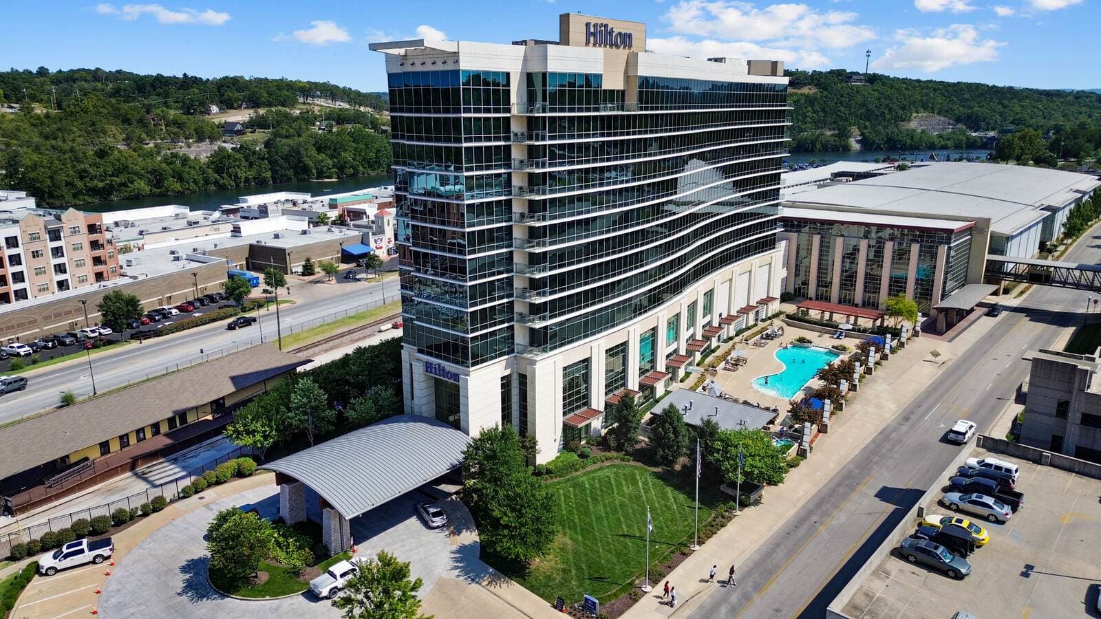
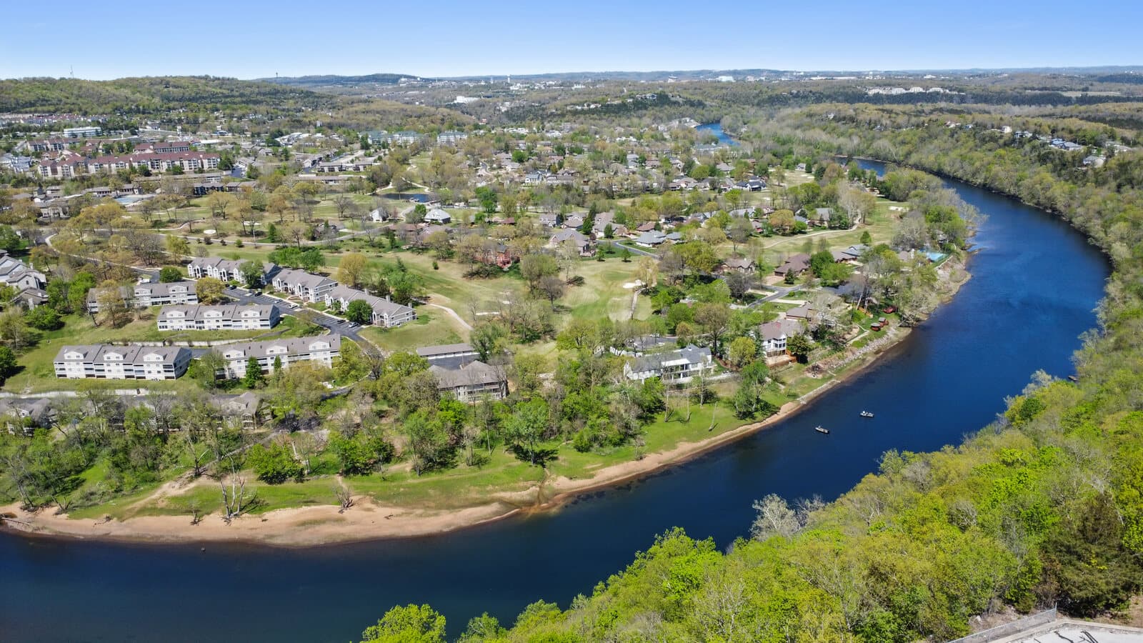
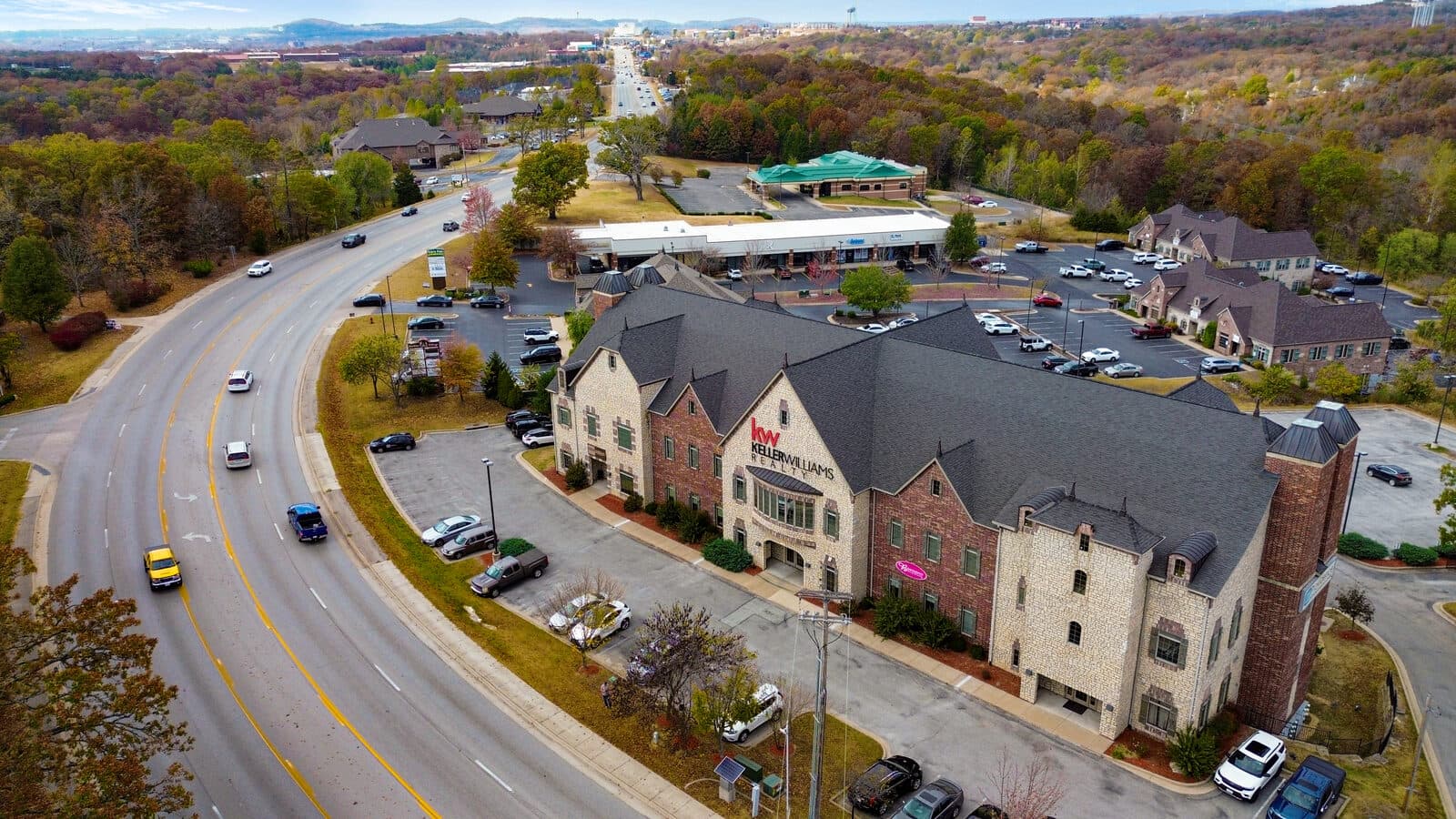
For lake lots, acreage, and shoreline properties, the aerial is often the photo that stops the scroll. We fly listings across Branson, Hollister, and Kimberling City under FAA Part 107.
Why aerial
Certain properties can only be understood from above
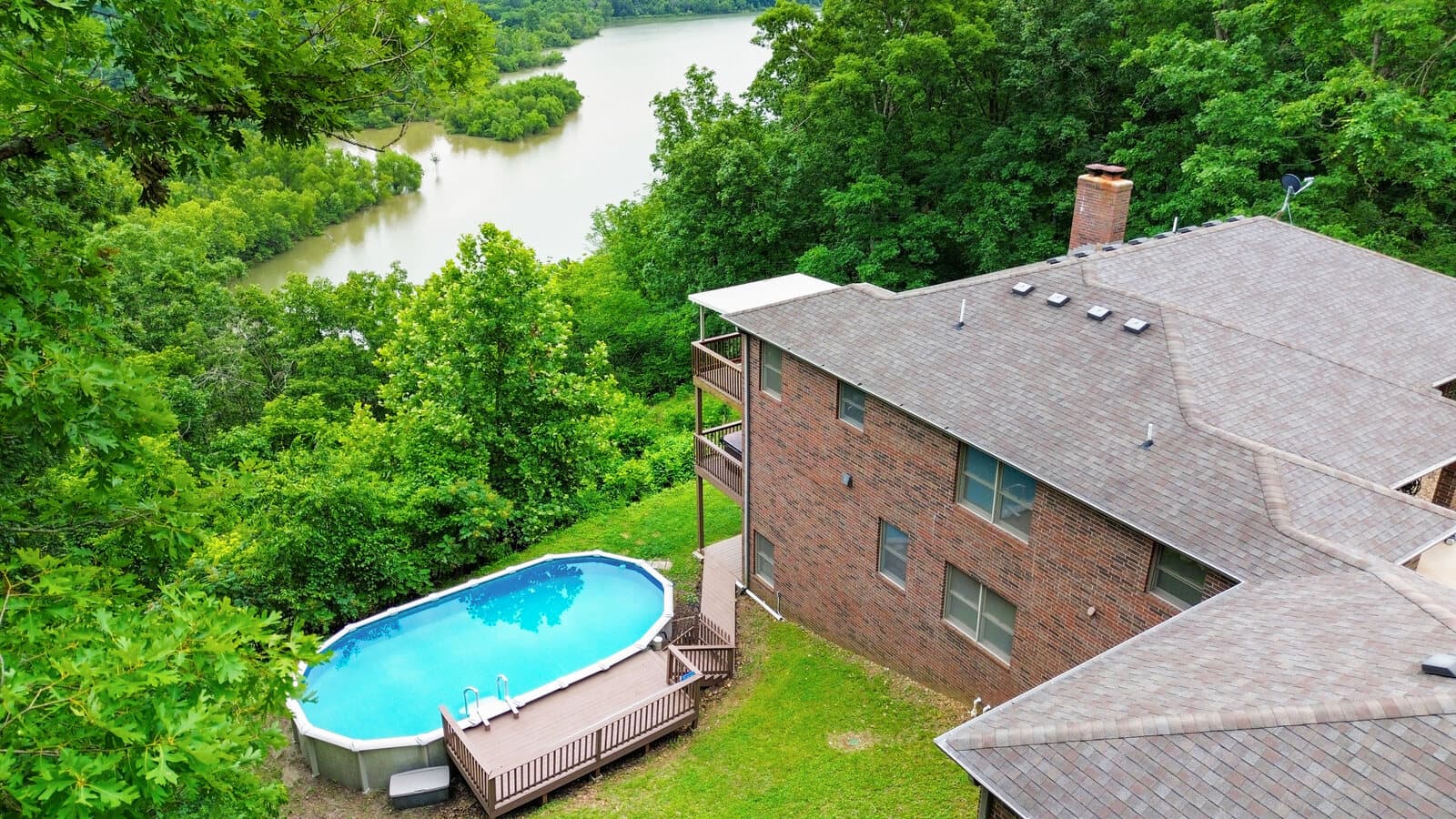
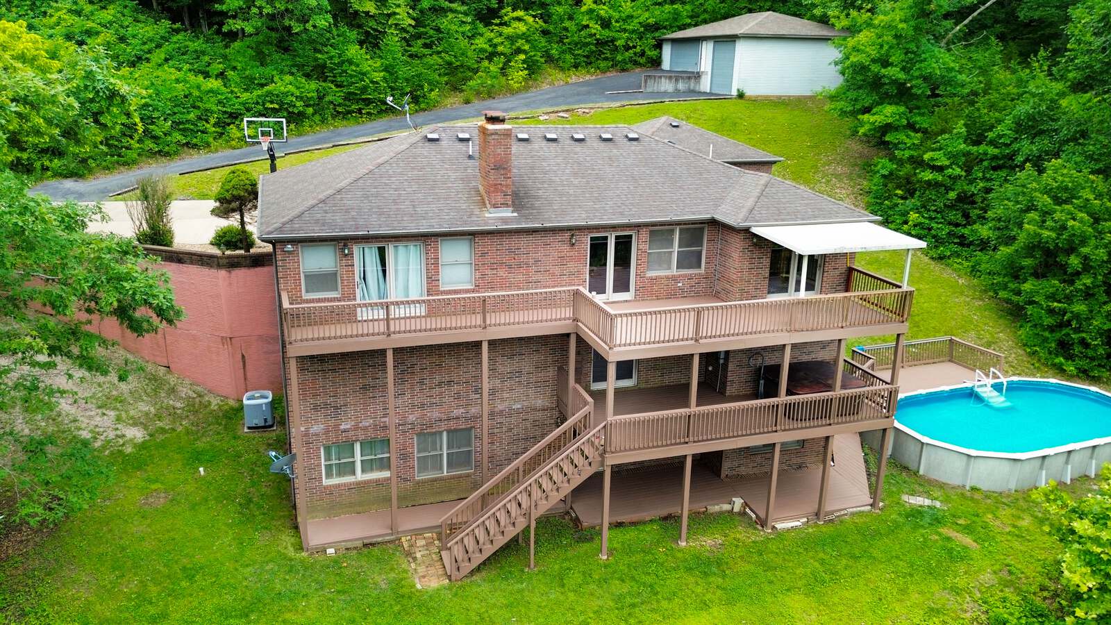
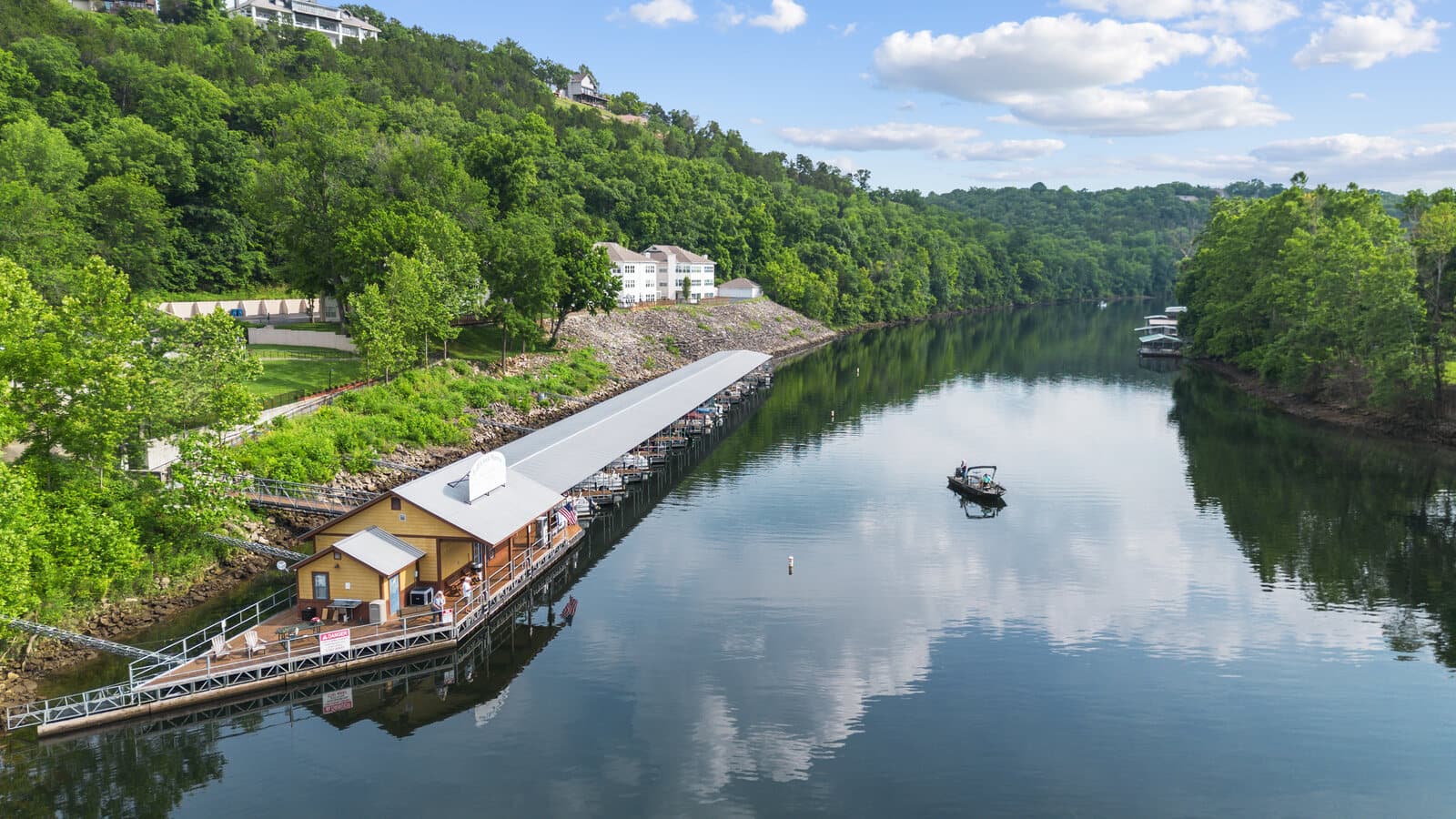
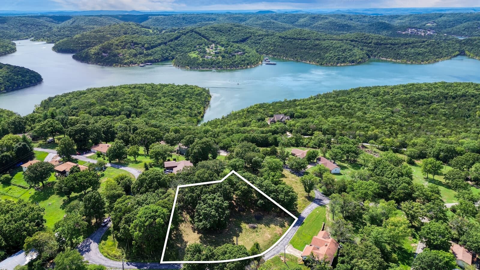
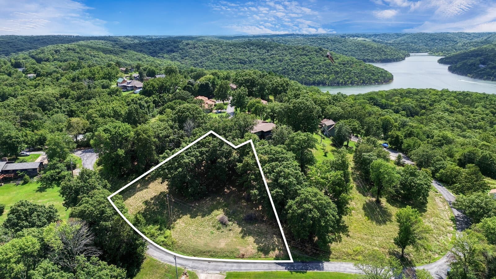
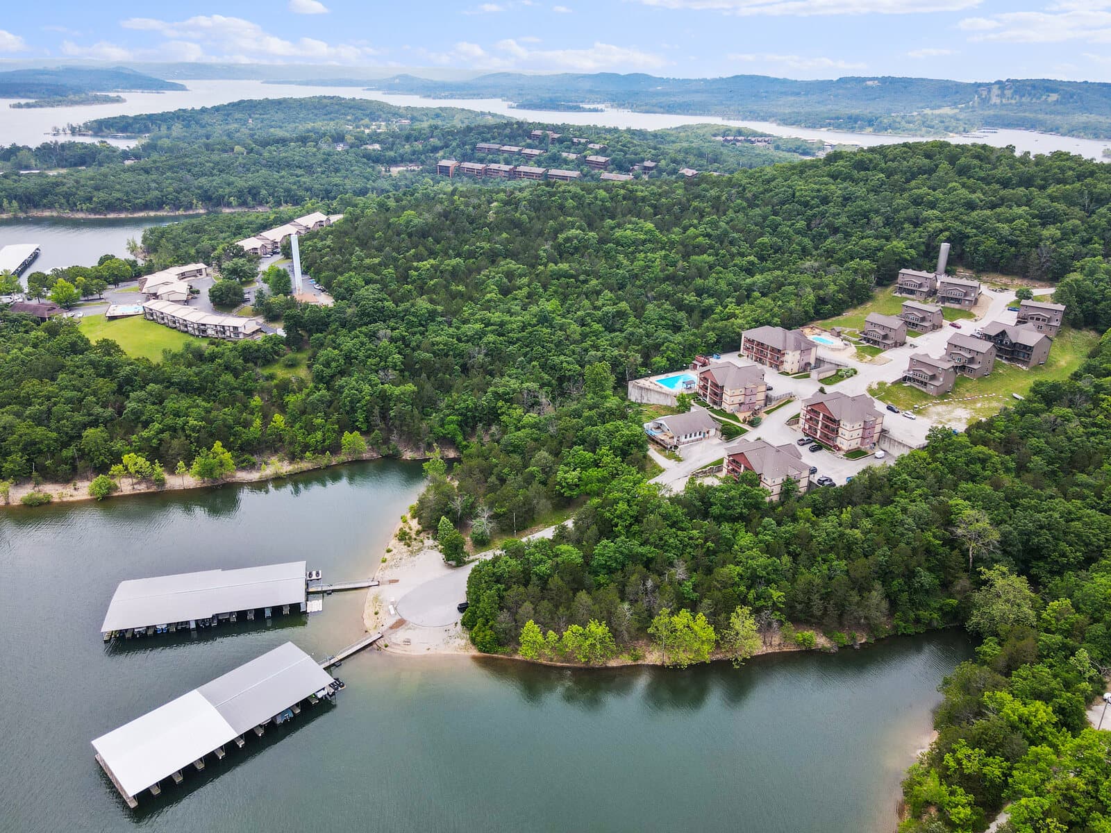
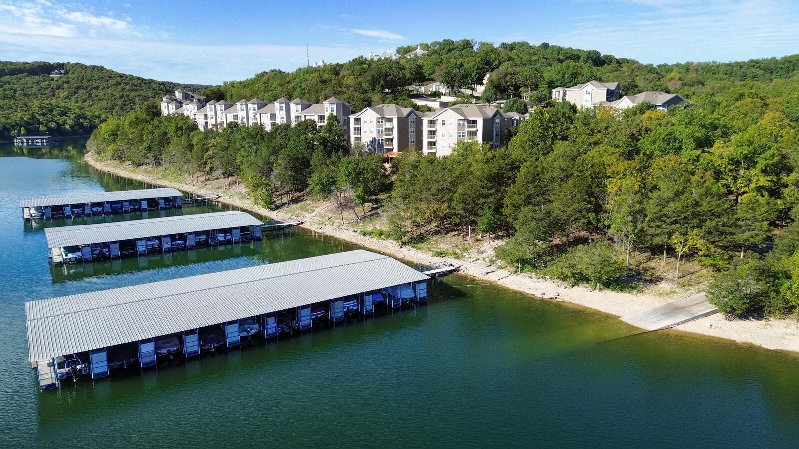
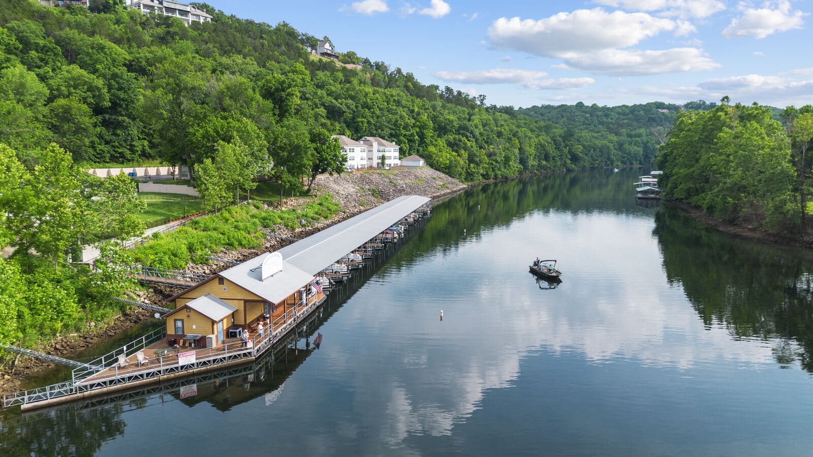
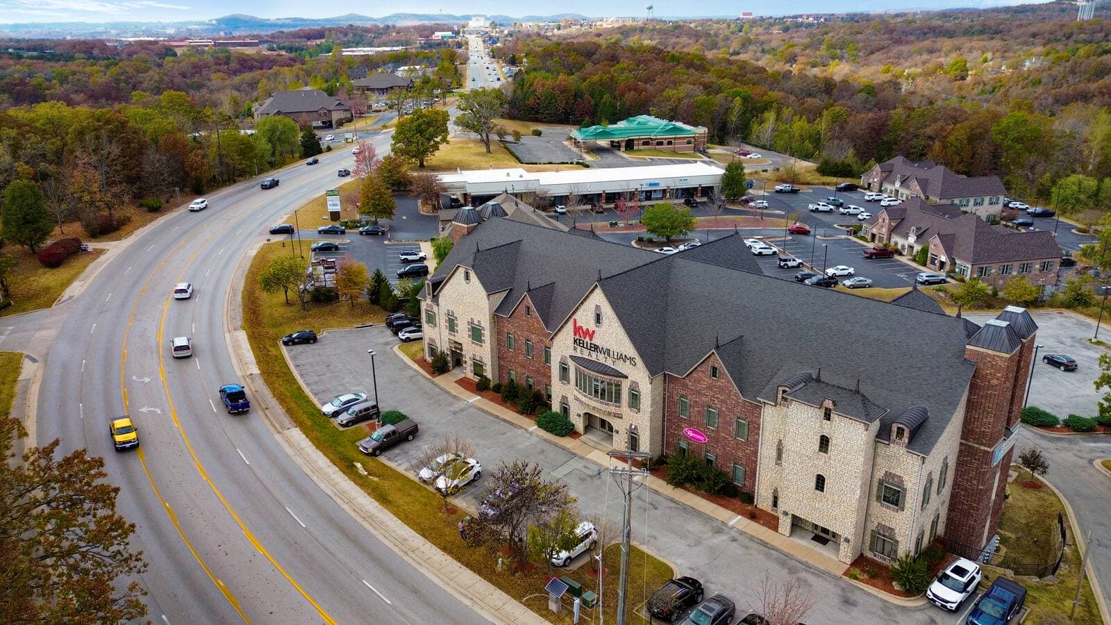
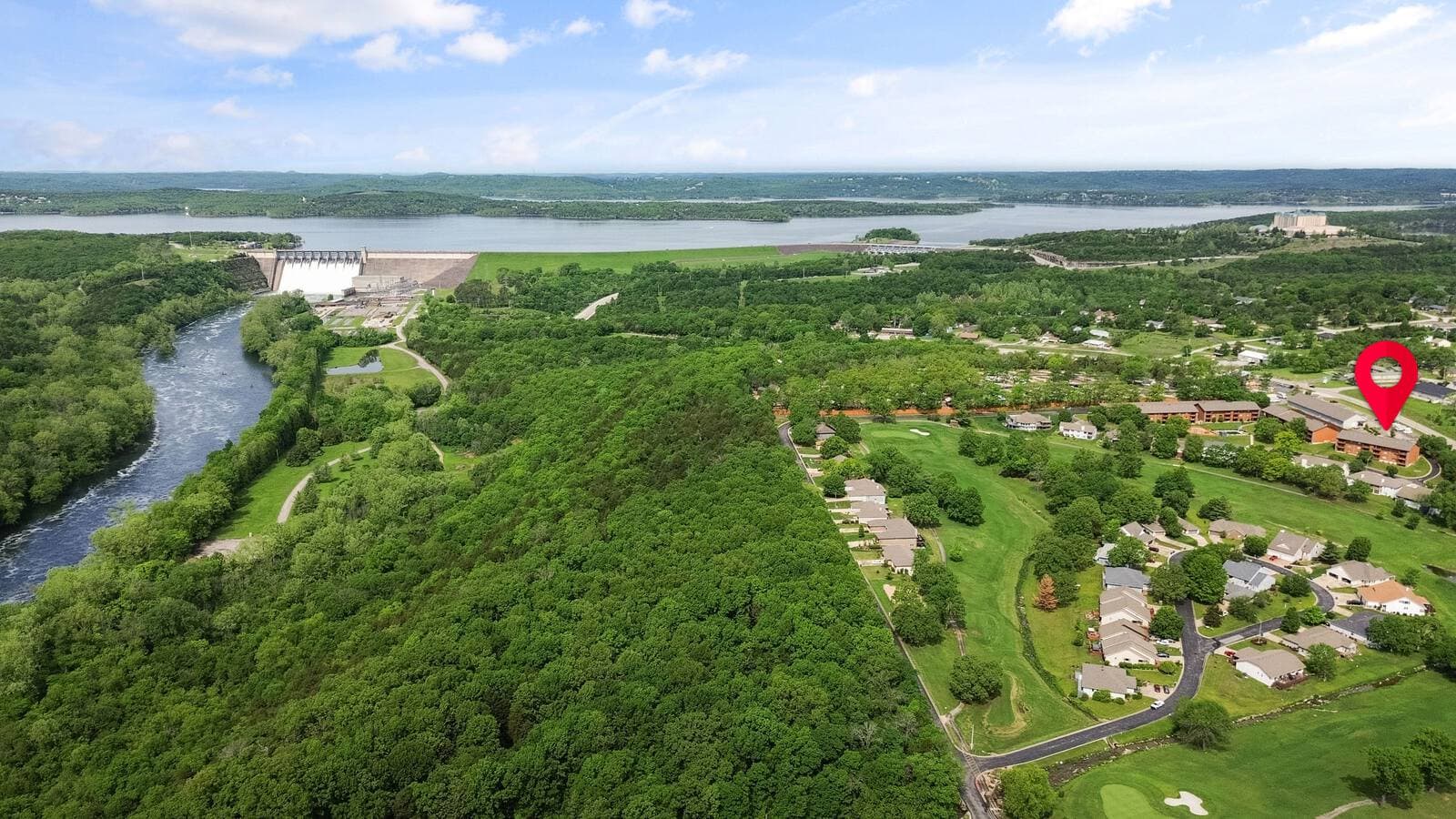
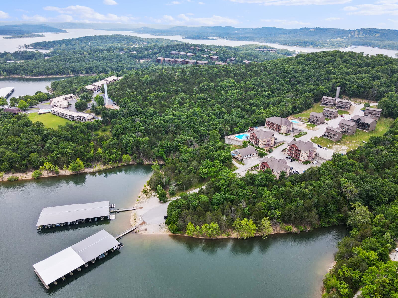
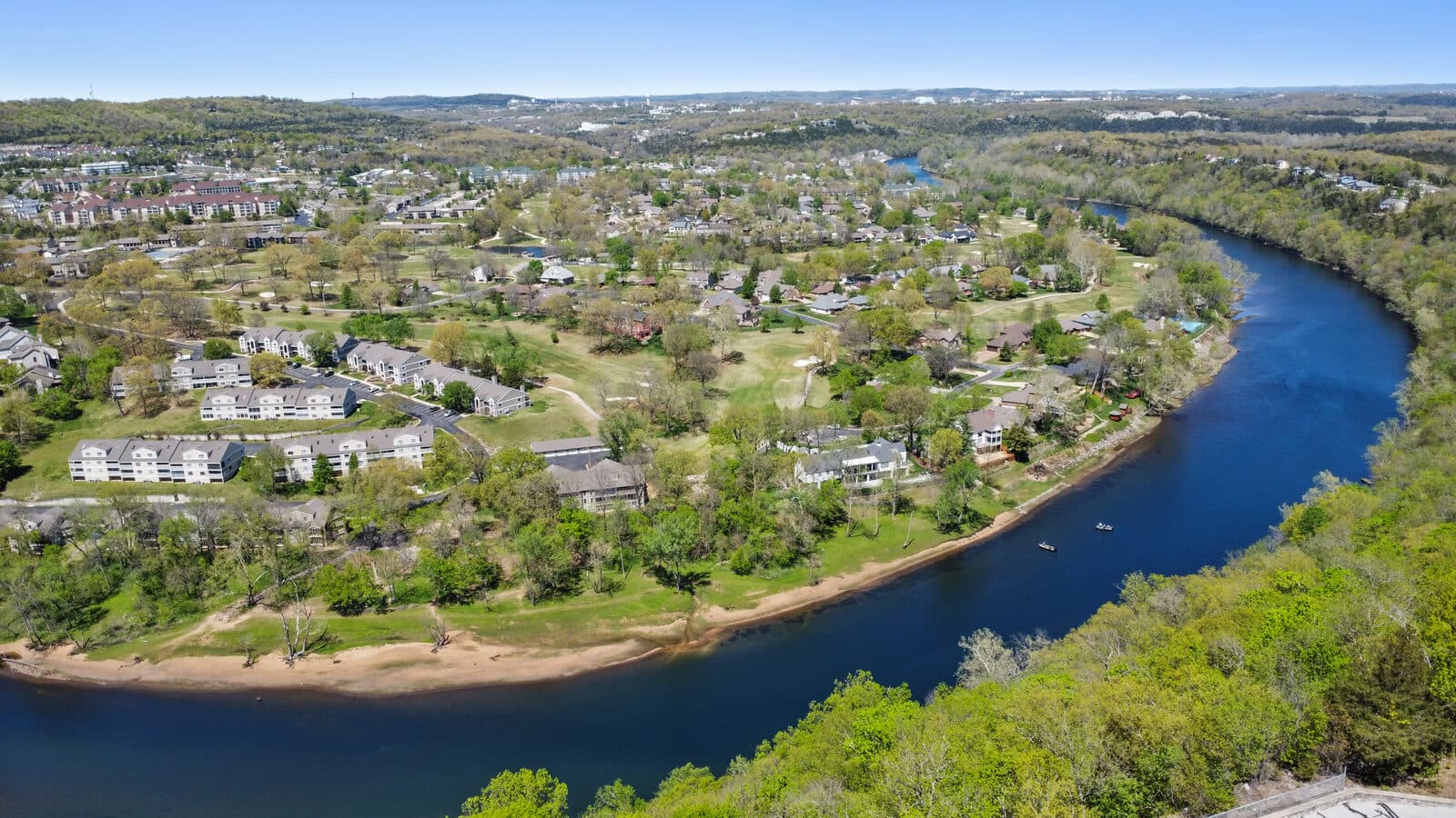
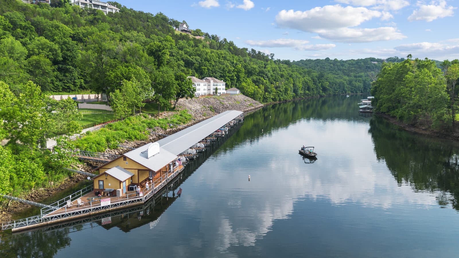
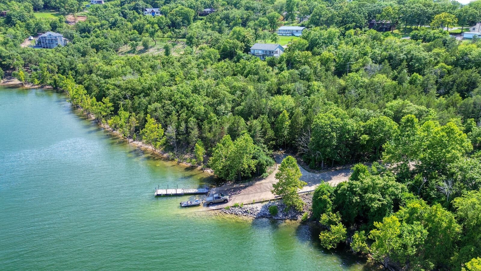
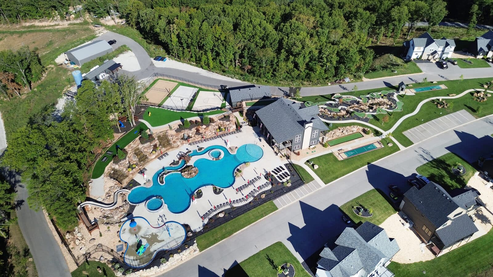
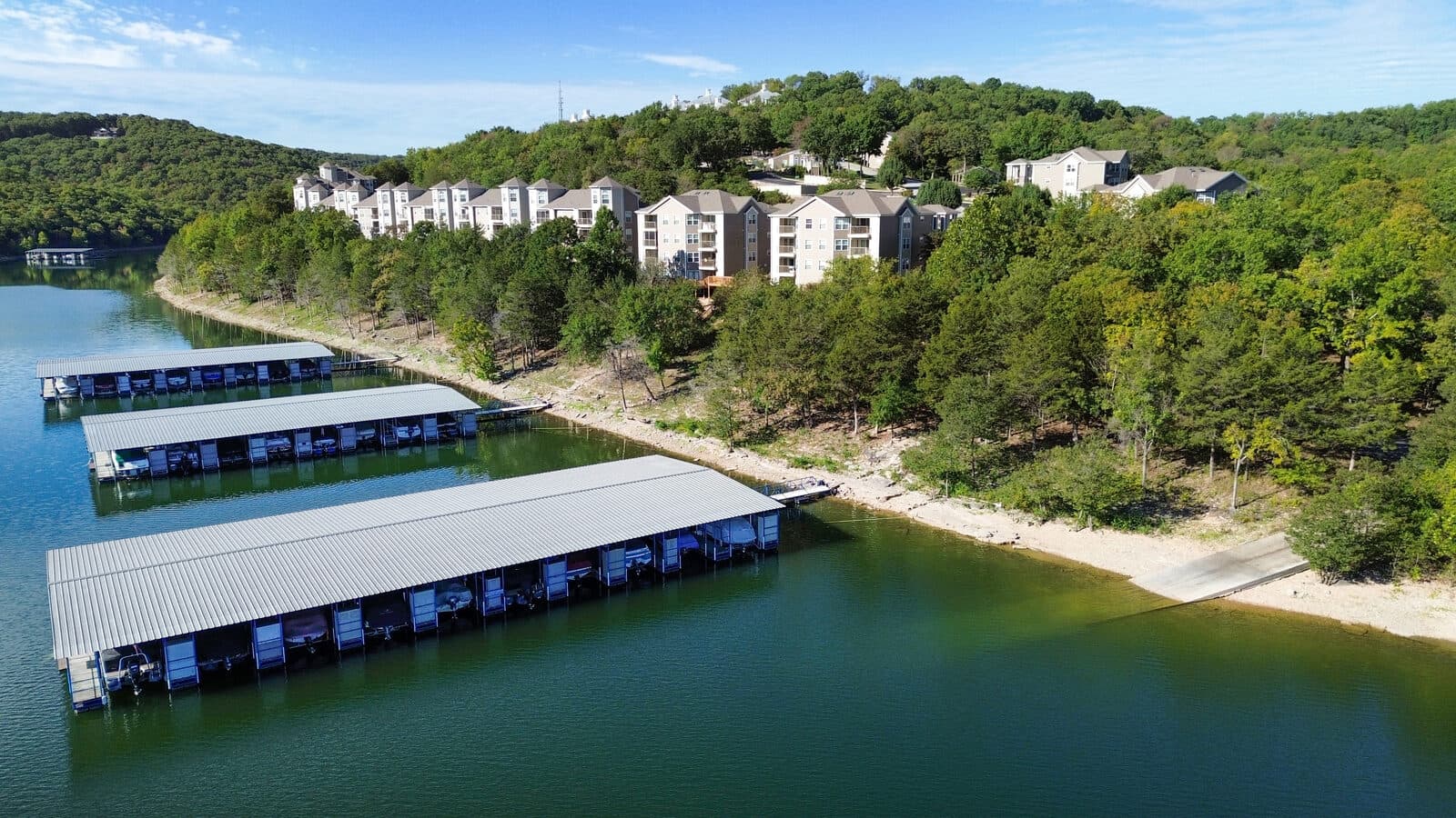
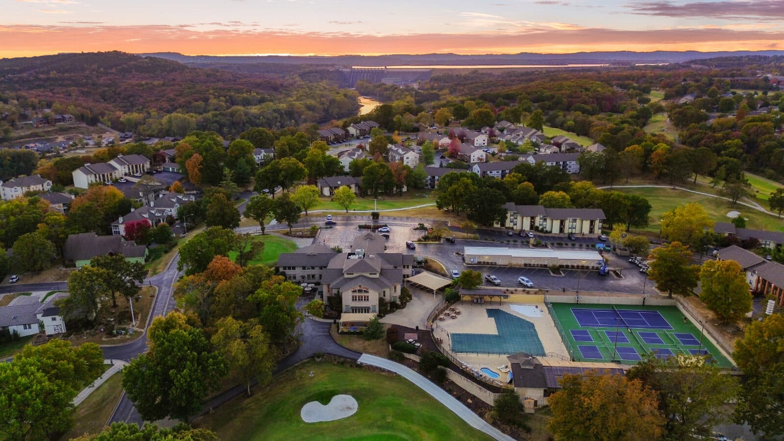
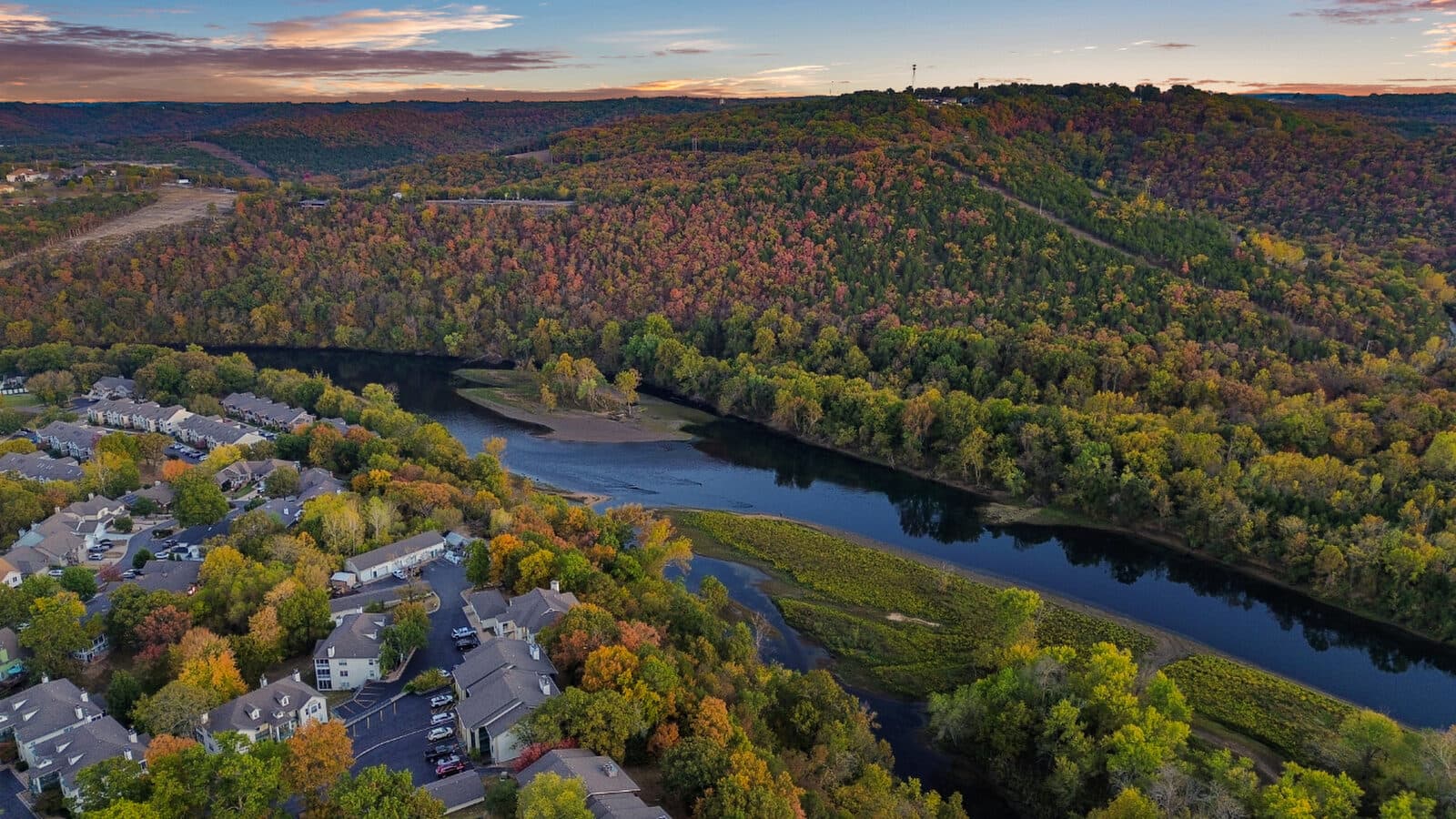
A lakefront lot, a dock, an acreage parcel with tree cover and road frontage: these are impossible to explain with an interior shot. One aerial shows the water, the treeline, and how close the marina sits. Buyers scrolling a listing stop on that frame.
“The aerial does the showing before the showing. By the time a buyer calls about a lake property, they have already walked the shoreline from above.”
Anthony Soumiatin, owner, Alexana Photography
How it works
Booked, flown, and in your inbox the next day
Airspace first
Share the address and your target dates. Before any flight, we confirm airspace authorization under FAA Part 107. Lake-area airspace moves; we check it every time.
The flight
We photograph the property from altitude: shoreline, acreage, dock, and structures from angles a ground camera cannot reach.
Delivery
Your aerial gallery arrives the next day, high-definition print-quality files and MLS-sized files in separate folders via Dropbox.
Questions
Asked before most shoots
What does drone photography cost in Branson?
Every photo package includes drone shots, starting at $195. Stand-alone aerials are $145. Full menu on the pricing page.
Are you licensed to fly?
Yes. We are FAA Part 107 licensed and confirm airspace authorization before every flight.
How fast do I get the photos?
Aerial galleries arrive the next day, with high-definition print-quality files and MLS-sized files in separate folders.
What if the weather is bad?
Lake weather moves fast. If conditions are not safe or clear enough to fly, we work with you to reschedule.
Send the address first, so we can check airspace before shoot day.
Airspace around Table Rock Lake changes. Sharing the address early lets us confirm authorization and line up a flight date without last-minute holds.
Drone coverage is included in every photo package from $195. Stand-alone aerials are $145.
Request a quotePair aerials with interior photography for one listing package.
See interior work