Land and lots
Lot photos and aerials that show shape, setting, and access
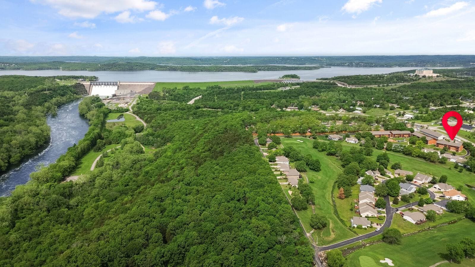
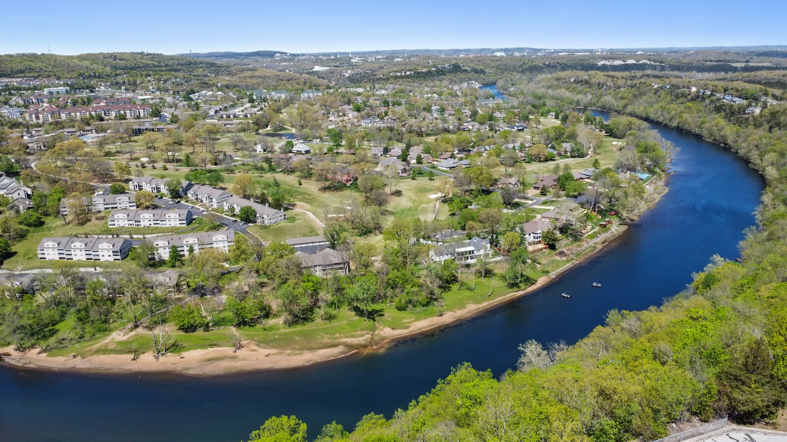
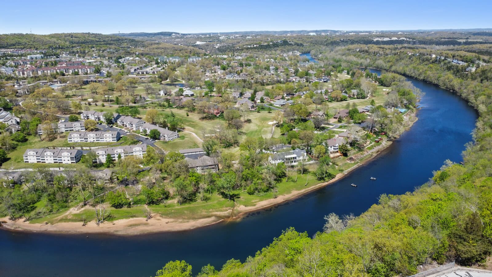
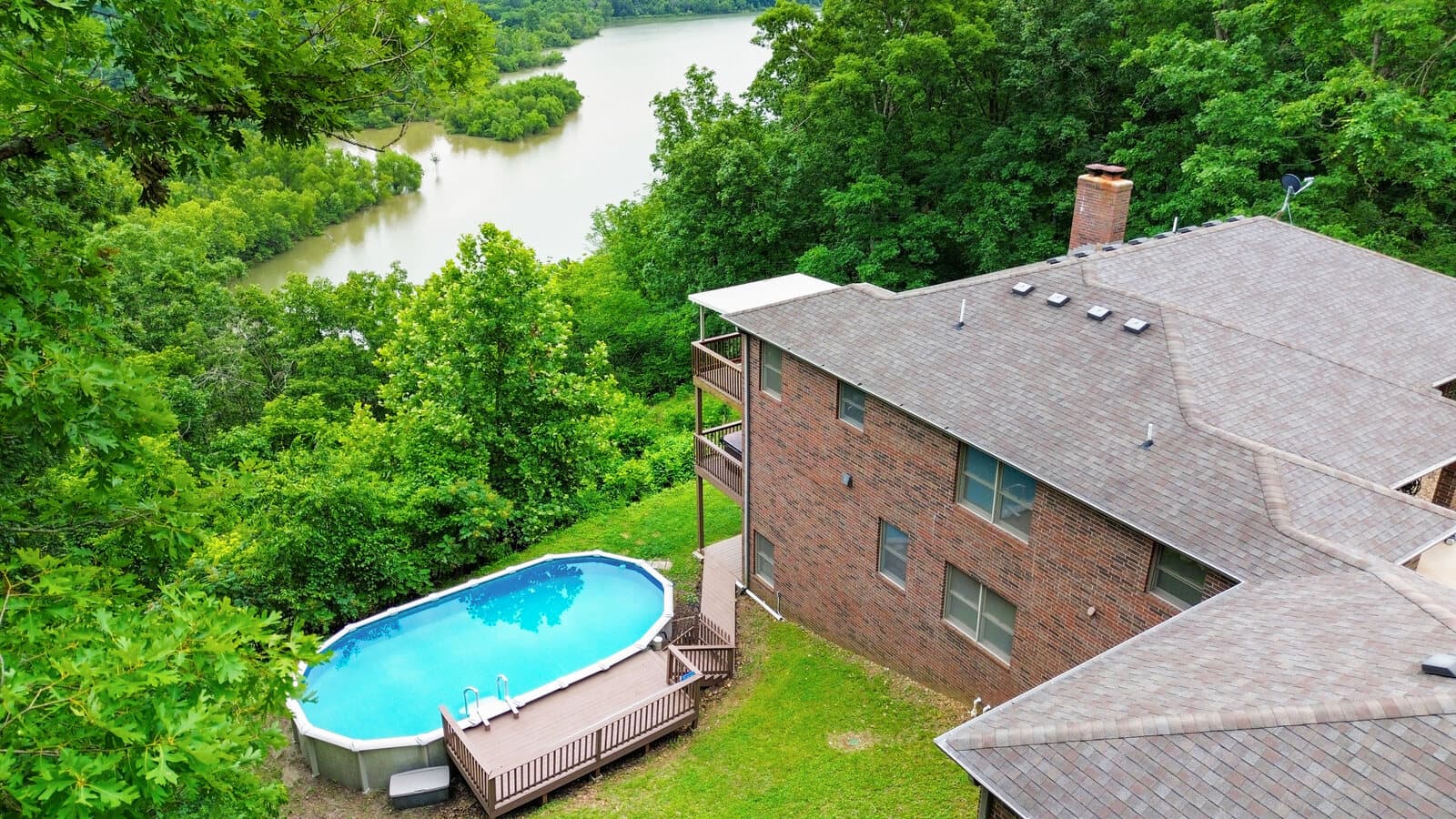
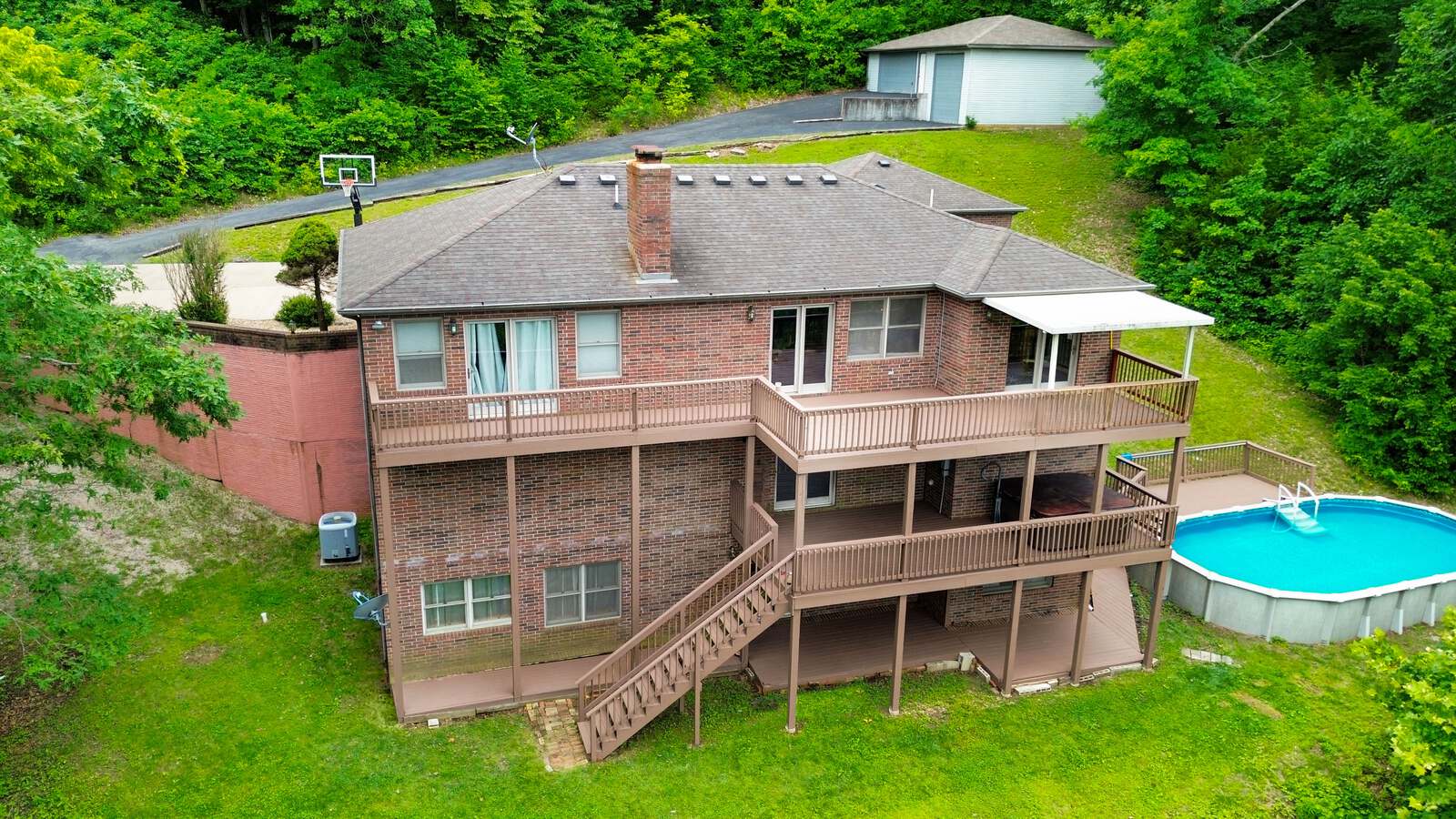
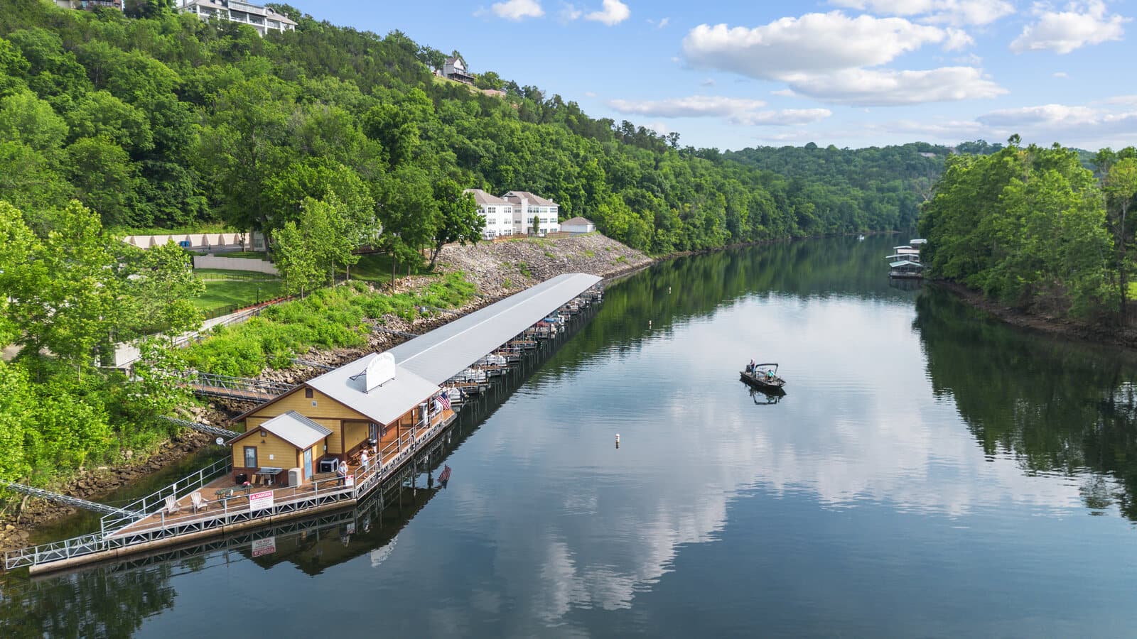
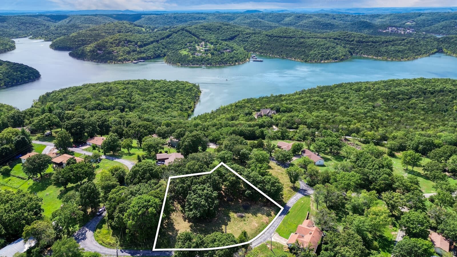
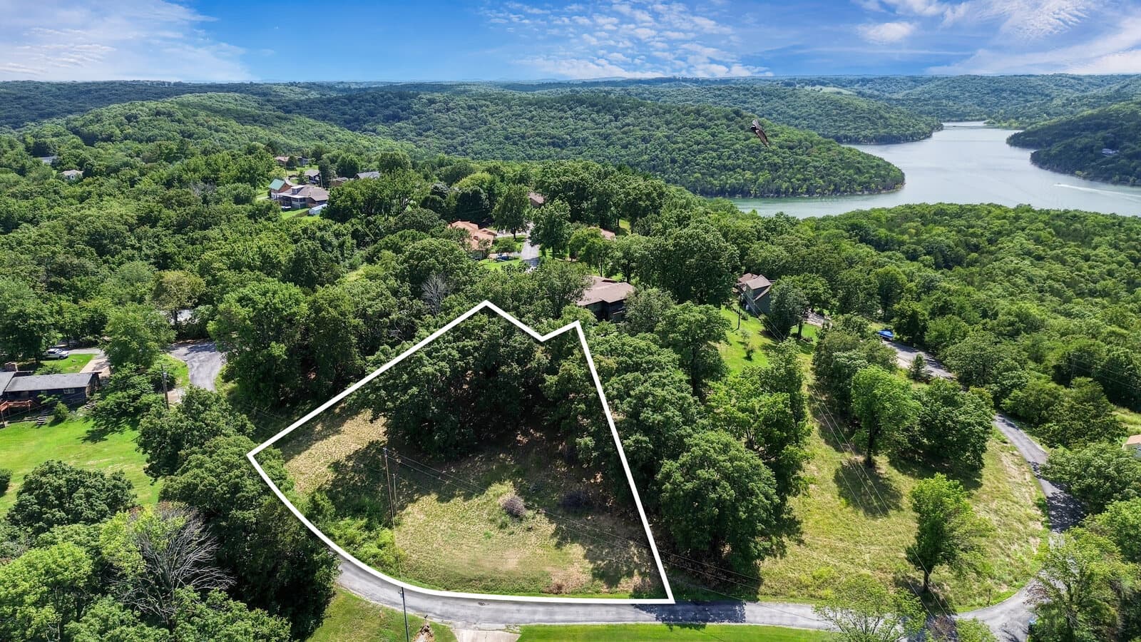
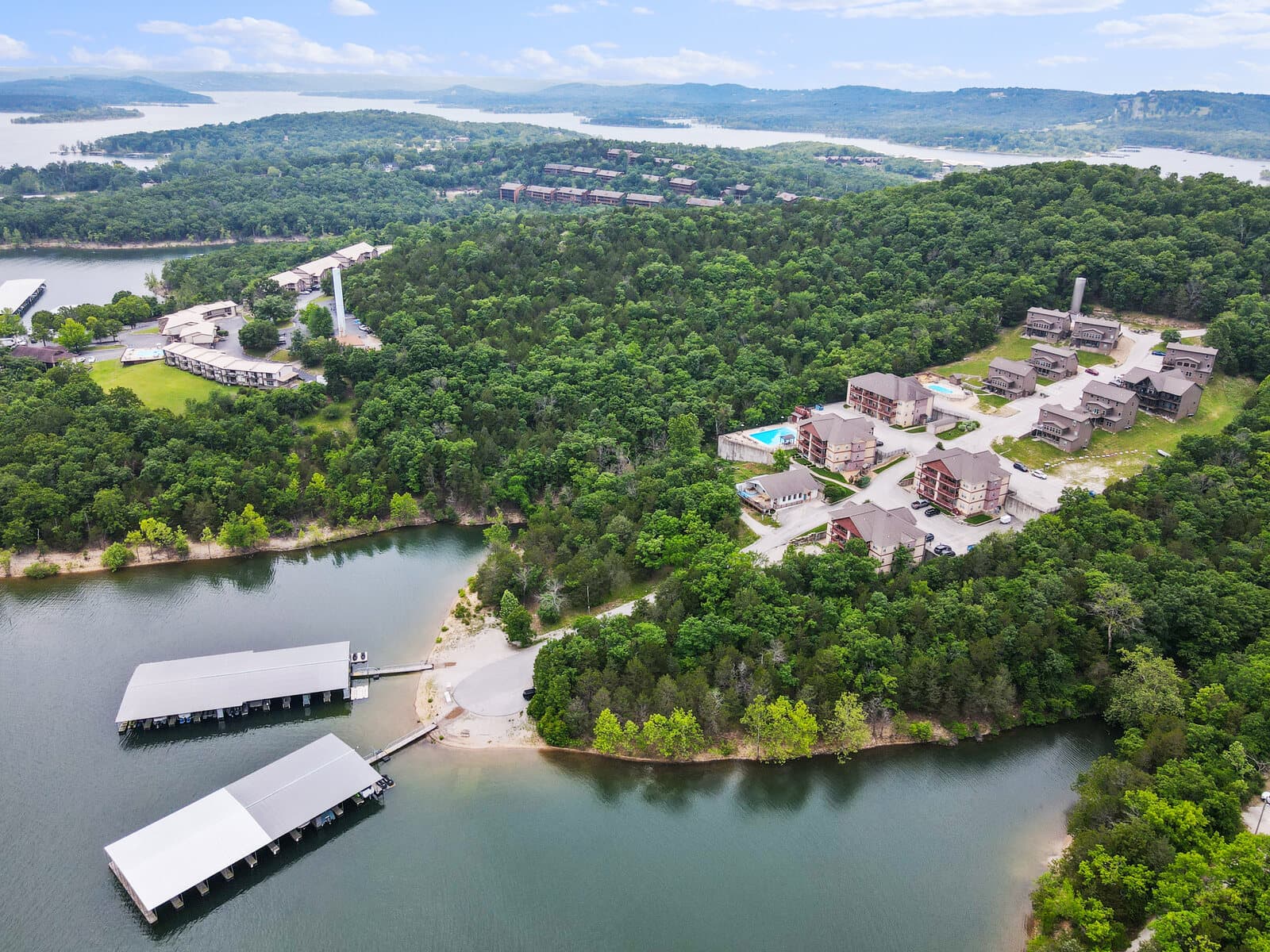
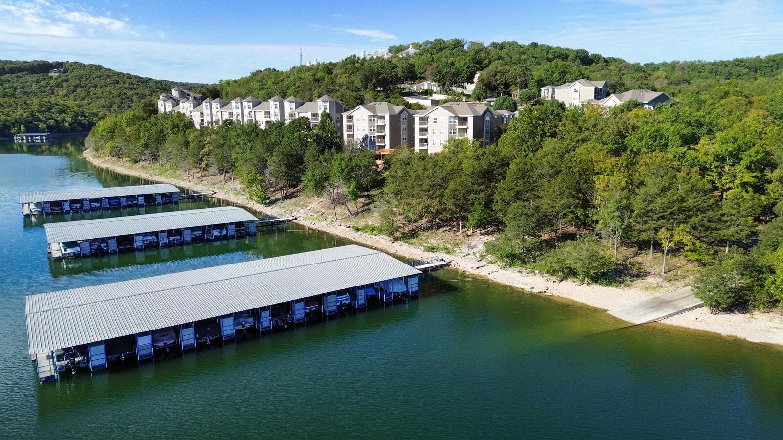
Ground photos alone cannot explain a parcel. Aerial coverage shows boundaries, acreage, road frontage, water proximity, and the view in a single frame.
A lot sells on what a buyer cannot see from the road: the shape of the parcel, how it sits on the water or the hillside, the tree cover, and the view. An aerial answers all of it. Stand-alone drone stills are $145; aerial coverage is included in every listing package.
Every flight is flown under an FAA Part 107 license, with airspace authorization confirmed first. Photos arrive next day.
Lot lines and callouts
Mark the parcel so buyers see exactly what is for sale
Lot lines, a parcel outline, road access markers, and feature callouts can be drawn right onto the aerial. Slide to compare the clean shot with the marked version.
From the air
Lots and parcels across the lakes area
Questions
What sellers ask about lot photos
What does aerial photography for land or a lot cost?
Stand-alone drone photos are $145, and a drone video clip is $145. If the lot is part of a listing shoot, aerial coverage is included in every package.
Can you show the lot boundaries or lines?
Yes. We can add lot lines, an outline of the parcel, or callouts for road access and features over the aerial, so a buyer sees exactly what is for sale and where it sits.
Do you need a license to fly the drone?
Yes, and we hold it. All drone work is flown under an FAA Part 107 license, which commercial aerial photography requires by law, with airspace authorization confirmed before every flight.
What should an aerial of raw land show?
The things a buyer cannot tell from the road: the shape and size of the parcel, how it sits on the water or the hill, tree cover, road frontage, and the view. One aerial answers all of it.
Easier to understand from above than from the road.
Send the parcel address or nearest access point. We plan around visibility and approach before confirming the shoot.
Book a shootOr call 417-365-4559